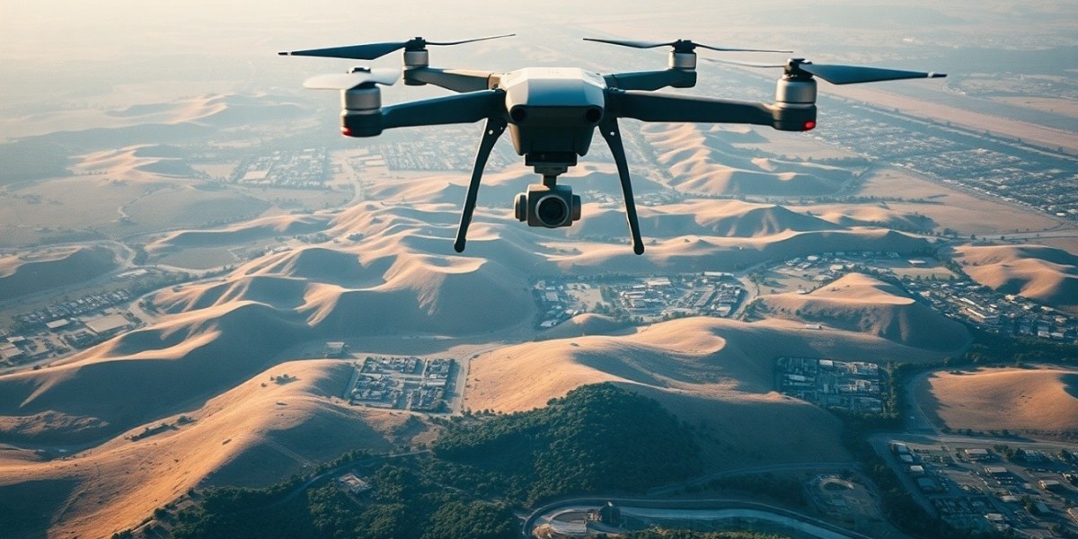

In recent years, the construction and infrastructure industries have undergone a significant transformation with the introduction of advanced technologies. Among the most effective of these is drone mapping. Aeroyantra Technologies Private Limited harnesses the power of drone mapping to improve the efficiency, accuracy, and scope of infrastructure projects. This blog delves into the key benefits that drone mapping brings to infrastructure development, emphasizing how our solutions can revolutionize your project management.
1. Enhanced Surveying Accuracy
One of the foremost advantages of drone mapping is its capability to capture high-resolution aerial images with unparalleled accuracy. Traditional surveying methods often involve labor-intensive processes that can yield less precise results due to human error or challenging terrain. With advanced sensors and imaging technology, drones can produce 2D and 3D maps that are both detailed and precise. This level of accuracy is vital for stakeholders involved in planning and execution, ensuring that projects adhere to specifications and reduce the likelihood of costly rework.
2. Significant Time Savings
Time is a critical factor in any infrastructure project, and delays can lead to increased costs and missed deadlines. Drone mapping significantly reduces the time needed for site surveys and data collection. Where traditional methods may take weeks or months to complete, drone surveys can be conducted in a fraction of that time. This rapid data collection translates into quicker project initiation, allowing teams to move forward with construction and development without unnecessary delays.
3. Cost Efficiency
Incorporating drone mapping into infrastructure projects leads to substantial cost savings. By reducing the amount of man-hours required for surveying and minimizing the potential for errors, projects are completed more efficiently. The reduction in ground crews not only cuts labor costs but also lowers operational expenses related to travel and equipment. As a result, the overall budget for projects can be better managed, offering improved financial viability.
4. Comprehensive Data Collection
Drones equipped with advanced sensors can collect a vast array of data points, including topography, vegetation, utilities, and existing structures. This extensive data collection helps project managers and planners better understand the site conditions and make informed decisions. In addition, the capability to deploy different sensors, such as LiDAR or thermal cameras, allows for even more versatile data gathering. This data becomes invaluable for making critical project decisions and solving problems proactively, rather than reactively.
5. Improved Safety
Safety is paramount in infrastructure projects, and utilizing drones for surveying helps mitigate risks associated with manual inspections. Traditional surveying often requires professionals to access hazardous areas or unstable terrain. Drones eliminate the need for human presence in potentially dangerous environments, enabling data collection from a safe distance. At Aeroyantra Technologies, we prioritize safety by integrating drone mapping solutions that minimize risks for all team members involved in a project.
6. Real-time Monitoring and Updates
One of the distinguishing features of drone mapping is the ability to conduct real-time monitoring and provide updates throughout the project cycle. This capability is crucial for maintaining transparency and communication among stakeholders, providing them with up-to-date visuals and data. Project managers can promptly identify changes or issues that may arise, allowing for swift corrective actions. This proactive approach contributes to a smoother project flow and overall success.
7. Environmental Management
Infrastructure projects often have significant environmental impacts. Drone mapping allows for precise monitoring of land features and conditions that might affect local ecosystems. By using drones to gather this information, project teams can design and implement strategies to minimize environmental disruption. High-resolution mapping also aids in compliance with regulatory requirements regarding land use, thereby fostering responsible project management.
8. Enhanced Planning and Design
With the accurate and detailed data obtained through drone mapping, planners can create better designs for infrastructure projects. The visualizations provided through drone imagery allow for improved site analysis, helping teams to identify the best options for laying foundations, designing roadways, and managing utilities. This data-driven approach results in optimized designs that are more likely to meet project goals and community needs.
9. Facilitating Collaboration
In the world of infrastructure, collaboration among engineers, architects, contractors, and stakeholders is essential for success. Drone mapping enhances this collaboration by providing a common visual reference for all parties involved. The ability to share high-quality aerial images and maps fosters better communication and coordination, ensuring that everyone is on the same page as the project progresses.
Conclusion
As the demand for innovative and efficient solutions in the infrastructure industry grows, drone mapping has emerged as a game-changer. Aeroyantra Technologies Private Limited is proud to offer cutting-edge drone mapping solutions that bring accuracy, efficiency, and safety to construction projects. By leveraging this technology, businesses can streamline operations, save costs, and improve project outcomes.
FAQs
Q1: What is drone mapping?
A1: Drone mapping involves using unmanned aerial vehicles (UAVs) equipped with cameras and sensors to capture aerial imagery and data for creating accurate maps.
Q2: How does drone mapping increase project efficiency?
A2: Drone mapping reduces the time needed for surveys and data collection, allowing for faster project timelines and minimizing delays.
Q3: Is drone mapping cost-effective?
A3: Yes, by decreasing labor costs and operational expenses, drone mapping can lead to significant cost savings throughout a project’s lifecycle.
Q4: Can drone mapping be used in various terrains?
A4: Absolutely! Drones are capable of surveying areas that are difficult to access or hazardous for ground crews, ensuring comprehensive data collection across diverse terrains.
Q5: What types of sensors can be used with drones for mapping?
A5: Drones can be equipped with various sensors, including high-resolution cameras, LiDAR, thermal cameras, and multispectral sensors to gather different types of data.
Q6: How does drone mapping improve safety on construction sites?
A6: Drone mapping reduces the need for personnel to enter dangerous or unstable areas, thereby enhancing safety measures on construction sites.
Q7: Can I integrate drone mapping into existing project management processes?
A7: Yes, drone mapping can easily be integrated with existing project management software and methodologies, enhancing overall workflow and data accessibility.
By leveraging the benefits of drone mapping, infrastructure projects can achieve new levels of success and efficiency. To learn more about how Aeroyantra Technologies Private Limited can assist you, visit our website or contact us for a consultation.